New online map shows health impacts of lower tree count
Less affluent areas of London have fewer trees, and are missing out on essential health benefits, such as clean air, reveals a new online map.
The map uses tree canopy data from Google and six climate, health and socioeconomic indicators to generate a score from 0 to 100 for urban neighbourhoods. It shows that, in areas of lower tree cover, there is a direct link to more pollution and poorer air quality.
Neighbourhoods with the highest income levels across the UK have more than double the tree cover per person than less affluent neighbourhoods, and they have nearly 20% less of the toxic pollutant nitrogen dioxide (NO2).
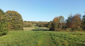
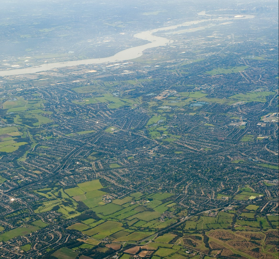
In London, boroughs including Barking and Dagenham and Hounslow have significantly lower tree cover than leafy Richmond.
The Woodland Trust partnered with American Forests and the Centre for Sustainable Healthcare to launch the tool in the UK, encouraging everyone to find the Tree Equity Score for their area and address disparities.
Dr Darren Moorcroft, CEO at the Woodland Trust, said the tool was a ‘breakthrough’ that would inspire people to plant and care for urban trees.
Anna Taylor, Director of CPRE London, said the tool offered a graphic illustration of the value of trees to the urban environment.
‘We know how important trees are to people’s health and wellbeing. The Tree Equity Score underlines the value of initiatives such as our ‘M25 of trees’, bringing woodland to neglected sites around London. This tool will be a valuable addition to our armoury in restoring treescapes where they’re needed most.”
See here for more on a free interactive tool known as Tree Equity Score,
For more on the M25 of trees, see Tree Ring Community Forest: creating an “M25 of trees” – CPRE London