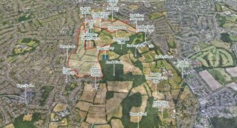
Driving in Circles: traffic in London’s Green Belt
Our report from 2018 – Driving in Circles – shows how extensive development in London’s Green Belt will lead to 5 million extra car journeys a week.
Read our report which details the research findings here – DrivinginCircles
We produced a map showing the distance of proposed new developments from train stations, organised by county (make the map full page view then click each county on the left), this map shows the straight line distance between the 443 (known) sites in London’s Green Belt which are threatened with development, and the nearest train station.