Our Protect London map
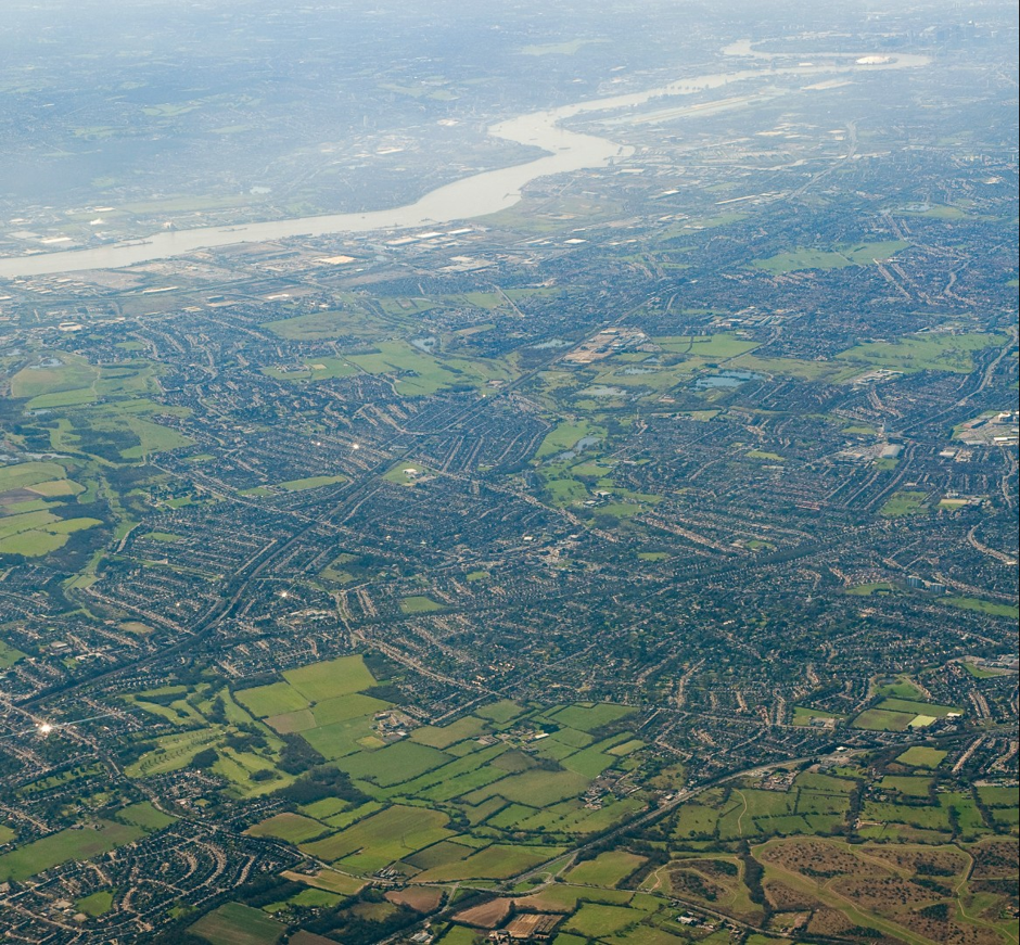
Our Protect London map shows how Green Belt and Metropolitan Open Land within Greater London is under threat from development like never before. We know that the vast majority of you oppose building on Green Belt land, so please help to halt these threats! Take action: find out how below.
Move the map by clicking on it and moving your mouse. To view this map full screen, click on the Full Screen symbol at the top right of the map. Map last updated May 2017.
Take action:
1. Please support these local campaigns: see below for contact details or click on the map pins to find out more
2. You could also write to local councillors, MPs and the Mayor to ask them to halt these threats right now!
3. Share what #ourgreenbelt means to you – at www.ourgreenbelt.cpre.org.uk
4. AND … let us know about any threats near you: email us office@cprelondon.org.uk
Chris Nutt from Save Oakfield Site said, “Oakfield playing fields are in constant use by people of all ages and backgrounds: we represent the cohesive and active community that politicians want. We are staggered at Redbridge Council’s plans to sell it off for development. There is no gain for the local community whatever. And the proposals don’t include affordable homes. There is no need to build on this piece of Green Belt in Redbridge. The council can allocate land for housing in Ilford Town Centre or on brownfield sites.”
chrisnutt@fissing.co.uk https://www.facebook.com/SaveOakfieldSite
Caroline Donnelly in Hillingdon said, “We are fighting back against a potential development threat to our green, open space in Hayes End known locally as Hayes Park. It was recently put up for sale for £5 million. There have been numerous attempts to develop the site in the past, but the local community has stood up and protested. We are really concerned that, with the recent shift in government policy regarding Green Belt land protections, we will have a much bigger fight on our hands this time around.”
carrotyd@gmail.com https://www.facebook.com/friendsofhayesend
Balvinder Dhillon from Keep Osterley Green said, “The proposal to put a free school on the White Lodge site in Hounslow is bewildering. The site is not designated for education use and it is not shortlisted in the Local Plan site allocations. The lawful use of the site is for sports and recreation. Furthermore there are many suitable brownfield alternatives readily available. Our council seems to treat this finite resource with disdain, with current plans allowing a number of the borough’s new free schools to be built on Metropolitan Open Land.”
b-dhillon@sky.com http://keeposterleygreen.org/
Note that London’s Green Belt extends well beyond the Greater London Authority (GLA) boundary. This map currently only shows threats to Green Belt land within the GLA boundary. Very worryingly, the threats go well beyond this boundary. Other CPRE branches are also campaigning to protect the Green Belt around London.
PLEASE NOTE. This map is indicative; all information is supplied by volunteers, friends and members of the public. We attempt to check all data supplied, however we cannot guarantee all the information is up to date or accurate. Some pins may be inaccurately placed because of incomplete postcode data supplied. If you spot something that is wrong, please let us know by following the link at the bottom of the page.