New map shows park space per person in London

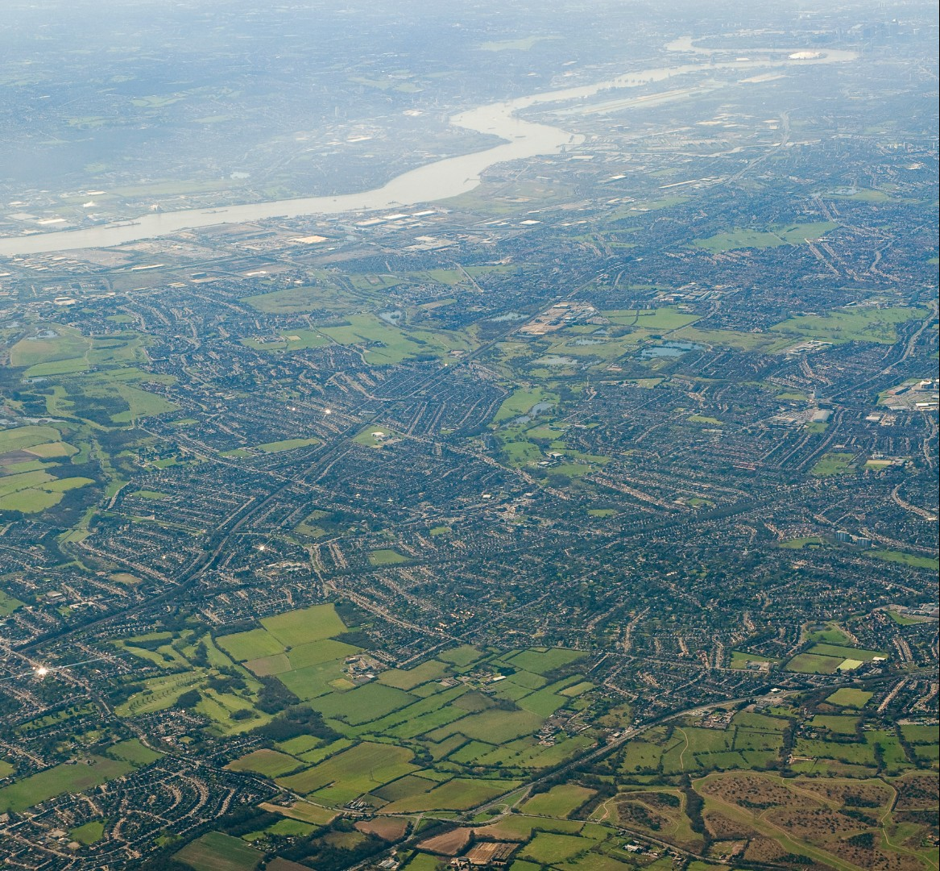
Some parts of London have lots of parks, others have precious little green space – and also have high population density. It’s time to identify those locations – and do something about it.
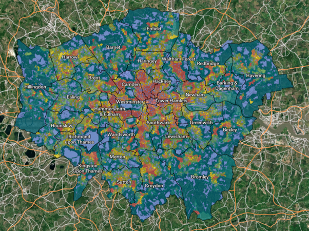
The current system for identifying areas which are ‘deficient’ in green space only considers the distance to those spaces. We wanted to factor in population as well, and look at which parts of London have the least ‘green space per person’.
- Watch the recording of our September 2025 event Tackling inequality in access to green space here.
So we created a heat map to show which parts of London have the least green space per person. The index we used to calculate green space available per person takes into account two variables, first the total area of the green spaces available within 400 metres of an output area, and second the total population of the output areas within 400m of those green spaces.
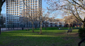
The results are quite stark, and show a huge range, with roughly 750,000 people in the lowest quantile with less than 0.44sqm of green space per person.

What to do?
We support a change to an assessment of green and open space provision taking into account overall space available per person, to aid better identification of Areas of Deficiency (AoDs).
This should link to policies enabling an increase in the amount of green & open space available for public recreation in AoDs. Specifically
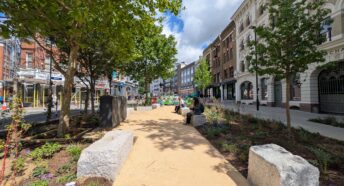
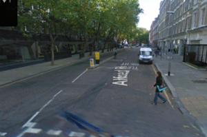
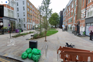
(1) A policy should be introduced to promote the conversion of streets to parks in AoDs, as per Alfred Place in Camden (before & after pictures below), retaining access for emergency/utility vehicles as needed. More examples here.
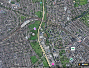
(2) A policy to promote bringing landbanked / disused Green Belt / Metropolitan Open Land sites back into use, for example Leigh Road Sports Ground in Newham. (The first image below shows the site which is disused and fenced off; the second image shows there are several nearby areas deficiency in green space according to our heat map). This should include: (i) the introduction of a policy requiring boroughs to identify out-of-use (protected) sites such as Leigh Road Sports Ground; and to work with the London Mayor to identify strategic sites at London-wide level to ensure sites on borough boundaries, MOL and other major sites of importance do not fall into disuse in future; (ii) a designation to identify and/or safeguard these sites as strategically important at borough or London level, for sports and/or recreation, in the London Plan and Local Plans; and (iii) landowners should be required to make the site available for these uses or face a Compulsory Purchase Order. Read more about our campaign to get green sites back into use here.

Huge thanks to Statisticians for Society’s Gessiene Grey for their help in creating this map; and Will Petty for hosting our map on Felt.